

Monitoring systems › MetOcean and Weather Monitoring › Weather stations
MetOcean and weather monitoring
Weather Stations
The meteorological picture at the asset, from one compact sensor to a full offshore met station.
Wind decides when a crane can lift and when a vessel can transfer. Visibility, cloud base and pressure decide whether a helicopter flies. A WISE Group weather station measures these conditions at the asset and puts them on the screens where the call is made.
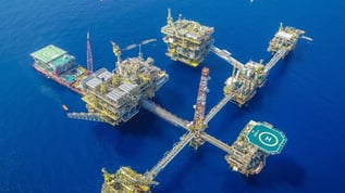
We size it to the operation: a compact all-in-one sensor on a vessel, or a full station with an instrument chosen for each parameter on a platform, FPSO or offshore substation, built to expand as the requirements grow.
What it gives you
Readings for the decisions on deck
Wind, visibility, cloud base and pressure measured where the operation happens, not estimated from a regional forecast.
Sized to the asset
From a compact all-in-one sensor to a full station with redundant and hazardous-area instruments.
On the screens you use
Real-time, gust and average values on dedicated wind displays, with trends and history in the software.
Built to grow
Start with a core sensor suite and add sensors, inputs and outputs later without rebuilding.
What a weather station measures
Every station starts from the core of wind, temperature, humidity and pressure. The rest is added for the operations the asset has to support.
Wind speed and direction
Ultrasonic anemometers with no moving parts, or cup and propeller types, including ATEX-certified options. True and relative wind, gusts and threshold alarms.
Air temperature and humidity
Probes in ventilated radiation shields, heated where icing or condensation would corrupt the reading. Dew point and heat stress derived for personnel safety.
Barometric pressure
Stable barometers, often with two or three elements cross-checking each other. QNH and QFE for the helicopter’s altimeter.
Visibility and present weather
Forward-scatter sensors with ranges up to 100 km, telling fog, haze and precipitation apart.
Cloud base
Cloud-base lidar that meets CAP 437 and aviation requirements for helideck operations.
Precipitation
Rainfall rate and accumulation logged, with rain, drizzle and snow classified.
Solar radiation
Solar irradiance for environmental reporting and thermal assessments.
Weather radar
A Furuno weather radar adds the weather approaching at range, and is the foundation for squall warning.
Two ways to build it
Both are built to expand, so a station can start small and grow with the operation.
Compact station
One unit on the mast
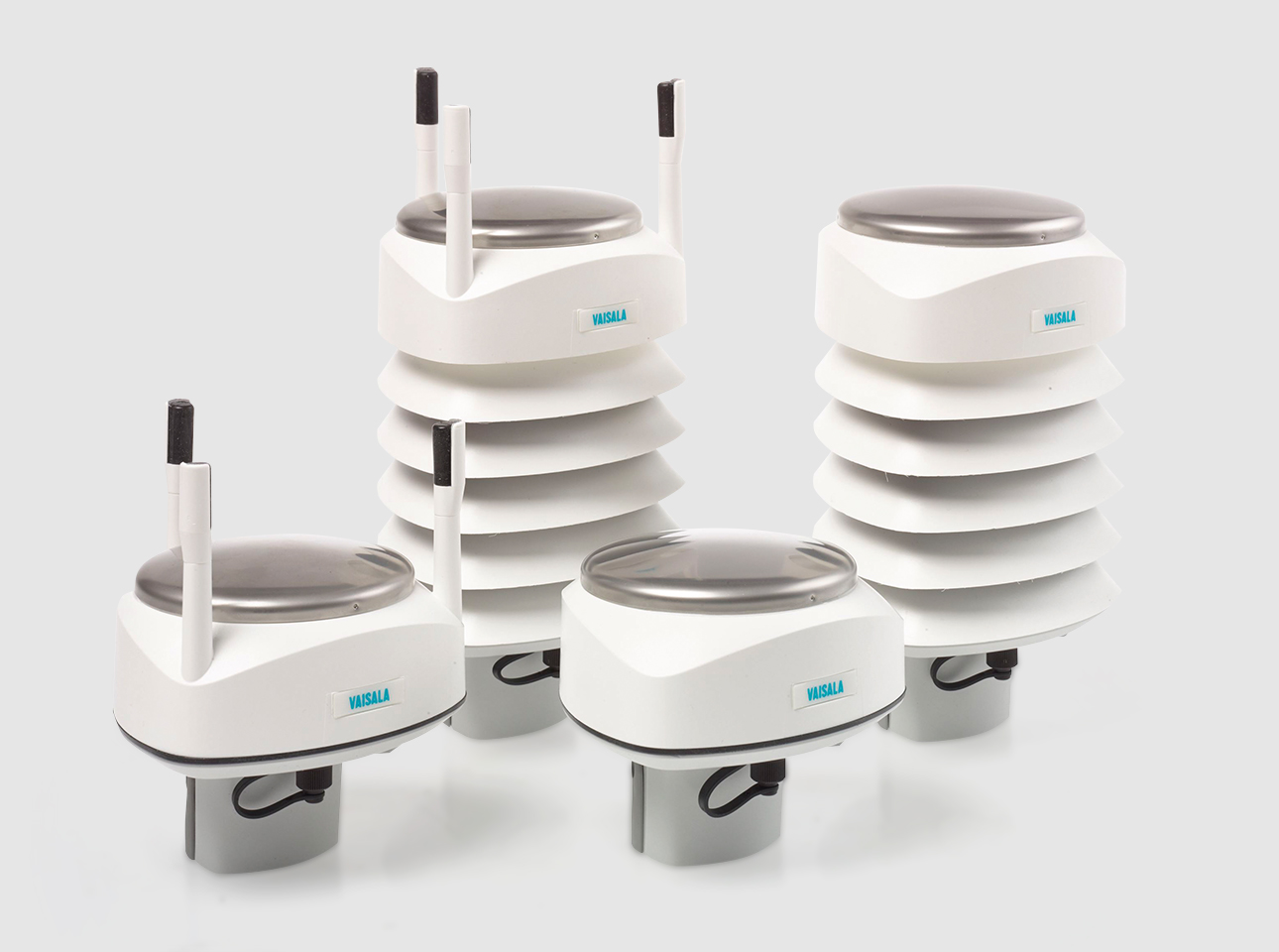
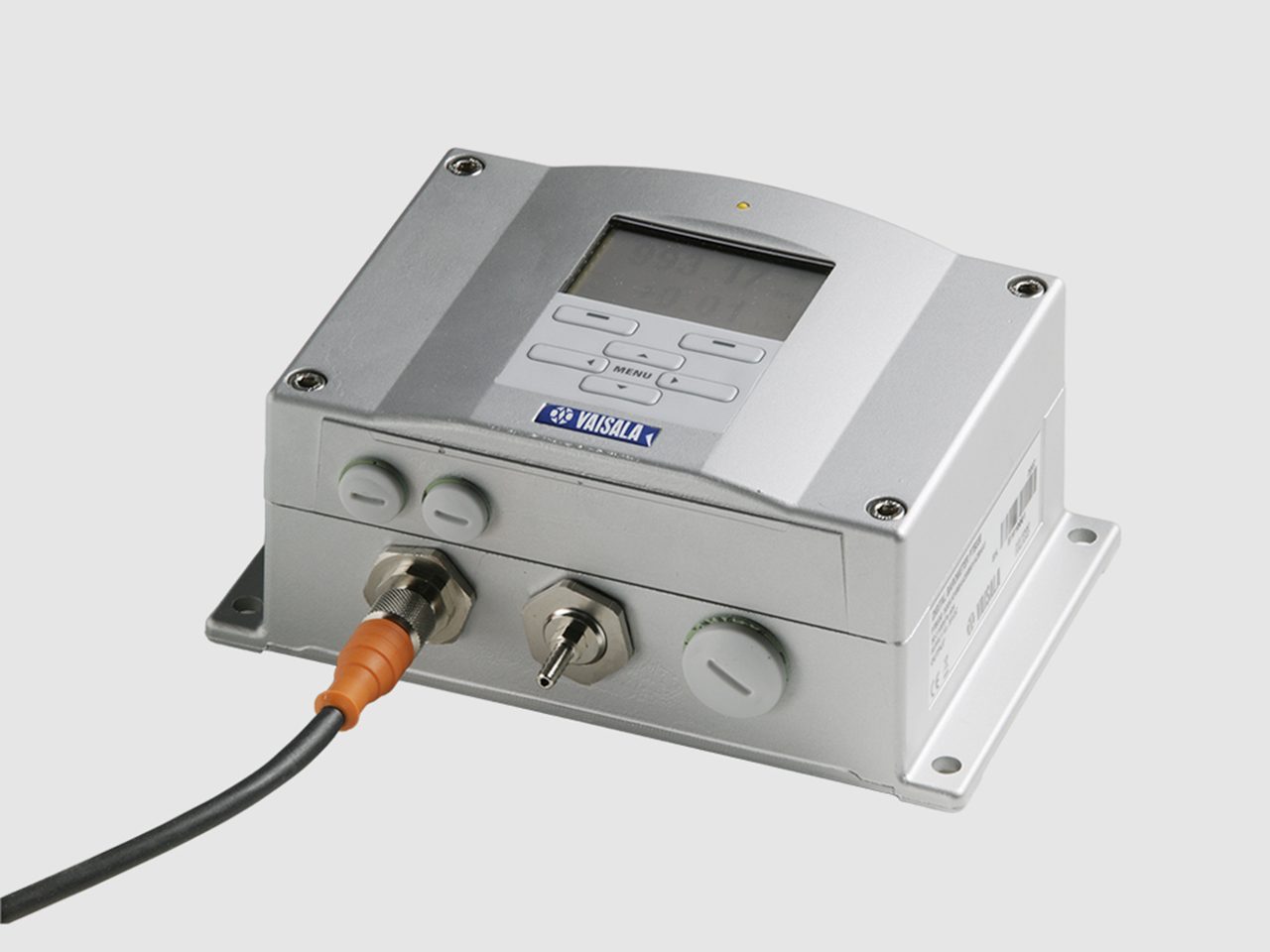
- The Vaisala WXT536 measures wind, pressure, temperature, humidity and rainfall from one compact unit
- No moving parts, resistant to vibration and near maintenance-free
- The WXT532 where only wind is needed: rugged, watertight and ultrasonic
- A wireless modem link to the display where cabling is impractical
Suits: vessels and smaller installations
Full met station
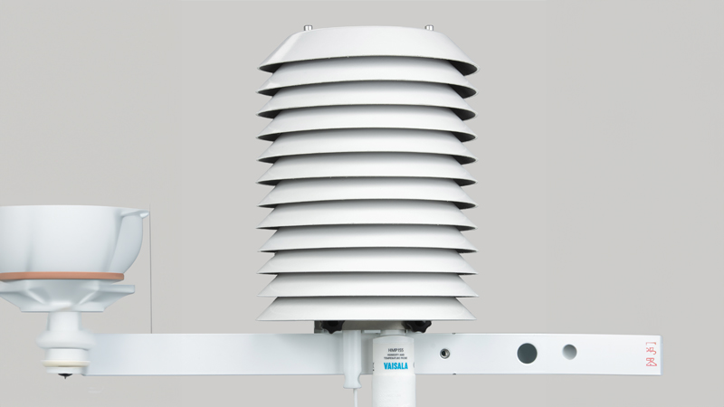
An instrument chosen for each parameter
- Sensors selected and positioned to meet class society and operator requirements
- Redundancy from the outset, such as dual or triple-element barometers
- Intrinsically safe sensors where the mast sits in a classified zone
- Visibility, cloud base, precipitation, solar radiation and weather radar as the operation needs
Suits: platforms, FPSOs and offshore substations
From the mast to the screen
A reading only helps if the person making the call can see it. Every station comes with the displays and software to put it in front of them.
Wind displays
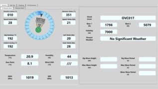
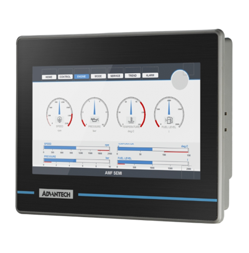
Customisable displays, typically 8″ or 12″, showing real-time, gust and average values. MET Translator Display →
Weather display software
Runs on durable touchscreen panel PCs, with trend graphics and historical data, and expands with additional sensors and I/O.
Panel or wall mounted
Displays integrated into a console panel or mounted on a wall, to suit where the crew works.
Part of the wider system
Readings logged and shown alongside the rest of the asset’s data in DADAS.

Where the sensor goes decides what it reads
On a ship or a platform, a badly placed sensor reads the structure rather than the weather. Siting is part of the delivery, not an afterthought.
Survey the asset
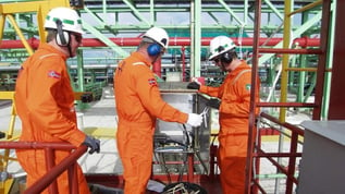
Our engineers identify turbulence and obstructions before a sensor is fitted.
Clear of distorted flow
Deck structures, flare booms and the superstructure distort the local wind, so sensors are placed to minimise it.
Shielded and protected
Radiation shields for temperature, pressure heads against wind-induced error, and housings specified for a marine atmosphere.
Corrected where needed
Correction algorithms where the flow cannot be avoided, and true and relative wind computed for moving assets.
We settle sensor positions early, together with cable routes and mounting, because they are easiest to get right before installation.
Delivered
East Anglia One offshore substation
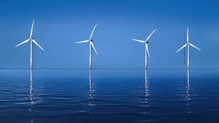
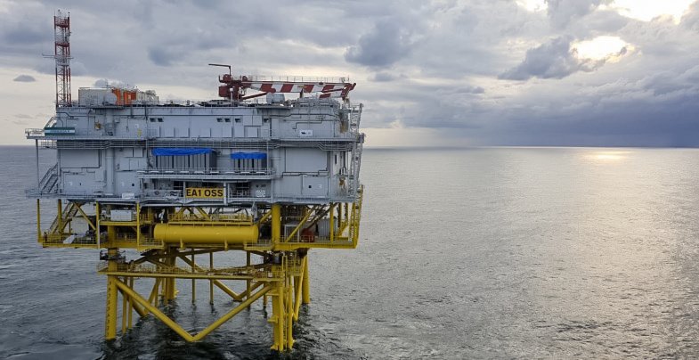
We commissioned the weather station for the offshore substation of the East Anglia One offshore wind farm, together with a MetOcean buoy for wave, wind and current data.
Helideck on the asset?
Helideck Monitoring System
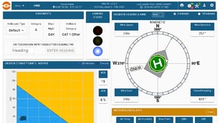
HMS uses the same installed sensors and presents the parameters CAP 437 and local regulations require to the helideck and the pilots.
Where to next
A weather station is the meteorological configuration of our MetOcean and weather monitoring systems. Where waves, currents and tide are in scope as well, the same system is delivered in its combined configuration.
Related systems: MetOcean and weather monitoring · Forecasting Weather Systems · Squall Warning System · Helideck Monitoring System
Also useful: Meteorological sensors · All sensors · Service and support
Useful to include
- The asset, and where the station could sit
- The operations it supports: lifts, transfers, helicopters
- Who reads the data, and where
- Any system it has to connect to
What happens next
We match the parameters to the operations you need to support.
We come back with a compact or full station and where each sensor should go.
You get a scope covering sensors, displays, installation and service.
Your weather data, beyond the asset
Orbalux, our cloud platform, puts the station's data online: live dashboards, history for reporting, and controlled sharing with partners, over encrypted outbound-only connections.
About OrbaluxGet in touch
Tell us where the station will sit and what the operation needs to see: wind for lifts and transfers, visibility and cloud base for helicopters, or the full meteorological picture. We will come back with a compact or full station and where each sensor should go. You can also contact us directly.