



Sensors › Cloud Height Sensors
Sensors
Cloud Height Sensors
How low the cloud sits above the deck, and how many layers of it there are.
Cloud base decides whether a helicopter can approach at all, and it is one of the values a helideck is required to report under CAP 437. Offshore it can differ markedly from the forecast and from what the mainland is seeing, which is why it is measured at the deck rather than taken from a regional report.

How a ceilometer measures cloud base
A ceilometer is a laser LIDAR pointed straight up. It fires short, powerful pulses into the sky and times the light that comes back. Cloud, precipitation and anything else that scatters the beam returns a signal, and the delay gives the height it came from.
The same profile resolves more than one layer, so a deck can be told there is broken cloud at 900 ft with a second layer above it. When the sky is obscured altogether (thick fog, heavy snow), the instrument reports vertical visibility instead of a cloud base, which is the figure an approach needs in those conditions.
Most instruments also offer a cloud amount function, reporting how much of the sky each layer covers rather than only how high it is.
Examples from our range
A few of the cloud height sensors we specify, install, integrate and maintain. We supply more types and variants than are listed here.
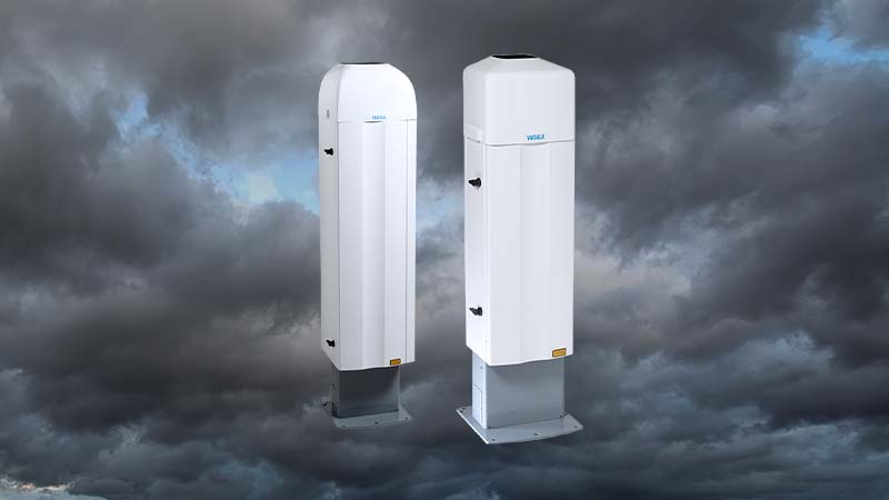
Vaisala CL31 / CL51
Compact single-lens LiDAR ceilometers. The CL31 reports cloud-base height with an optional cloud amount function. The CL51 extends the detection range to 15 km, resolves multiple layers and also captures cirrus cloud and vertical visibility, with a serial (RS-485) output.
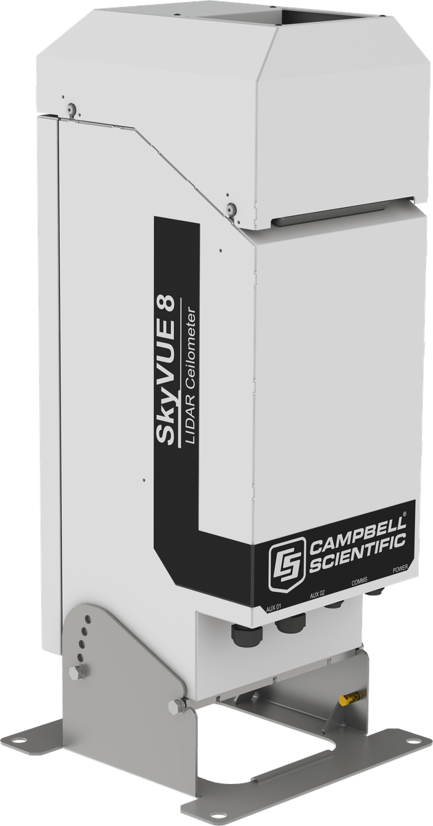
Campbell SkyVUE 8
Cloud base height across up to three layers, with a cloud amount option, over 0–8000 m. RS-232/RS-422 on 110/230 VAC, IP66-rated, meeting CAP 437 and ICAO requirements, and supplied complete with junction box and mounting bracket.
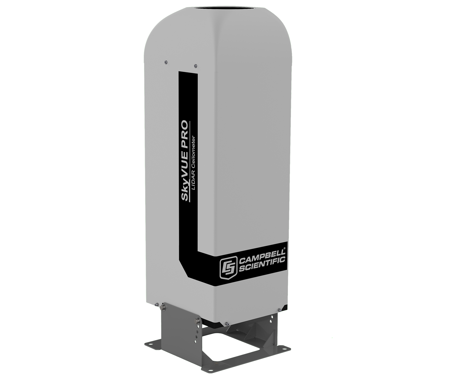
Campbell SkyVUE PRO
A professional-grade ceilometer for cloud base height and cloud amount reporting, covering 0–10,000 m. A safe-area (non-Ex) instrument, supplied complete with junction boxes for the sensor and its control electronics.
What matters offshore
Range
Standard-range units cover the heights that matter for helicopter operations; a high-range instrument reaches cirrus cloud and gives a better picture of the whole column.
Siting
A ceilometer looks straight up, so anything above it (a crane boom, a flare tip, a deck extension) will be seen as cloud. Exhaust plumes and hot or dry air outlets distort the profile in the same way.
Vibration and shock
These are optical instruments with lenses and precise alignment. Offshore they need shock absorbers in the mount, and they do not like being bolted to something that rings.
Hazardous area
Every ceilometer we supply is a safe-area instrument. There is no Ex-rated ceilometer, so placement has to be resolved against the installation’s area classification before anything else is decided.
Integration
Serial output (RS-232, RS-422 or RS-485) into a helideck monitoring system or an environmental monitoring system, or a standalone unit with its own software.
Where to next
Cloud height is normally specified alongside visibility and present weather, and both feed the same helideck system.
In this area: Optical and visibility sensors · Meteorological sensors · Precipitation
Related systems: Helideck Monitoring System · Weather stations
Also useful: CAP 437 · All sensor types · Service and support
In the knowledge base: Maintaining SkyVUE 8 and SkyVUE PRO ceilometers
Useful to include
- The parameter and the range you need
- Where the sensor goes, and the zone classification
- The system it has to report to
What happens next
We confirm the measurement and the installation constraints.
We recommend a sensor, or a set, that fits.
You get a quotation for supply, installation and service.
Get in touch
Tell us what you are measuring, where the sensor goes and what it has to connect to, and we will come back with a sensor that fits the installation.
You can also contact us directly.