





Sensors › Lightning Detection
Sensors
Lightning Detection
Where the lightning is, and whether the air overhead is charging up before the first strike.
A lightning risk stops work: crane lifts, helicopter movements, anything that leaves people exposed on deck. Knowing a storm is forty kilometres away and closing is useful. Knowing the field overhead has built to the point where a first discharge is likely, before it happens, is what gives a deck time to stand down in an orderly way rather than a hurry.

Detecting the storm, and the risk
Most lightning information comes from networks that locate a strike after it has happened, by triangulating the radio pulse it emits. That is good for tracking a storm across a region, and of little use in the ten minutes before the first discharge over your own deck.
A local detector works differently. It senses the quasi-electrostatic field in the air above it (the charge that builds before a discharge occurs) alongside the discharges themselves. That gives two distinct outputs: where the lightning is, and whether conditions overhead have reached the point where a strike is likely. The second is the one that changes what a deck does.
Detection covers intra-cloud, cloud-to-cloud and cloud-to-ground discharges. Cloud-to-cloud activity usually comes first, so a detector that sees it gives warning before anything reaches the sea or the structure.
Examples from our range
A few of the thunderstorm detectors we specify, install, integrate and maintain. We supply more types and variants than are listed here.
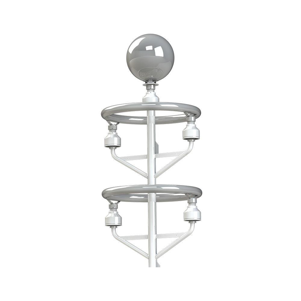
Senseca (Biral) BTD-350
A marine thunderstorm detector using passive quasi-electrostatic sensing of intra-cloud, cloud-to-cloud and cloud-to-ground lightning to 83 km, with a direction finder fitted as standard. Supports CAP 437 thunderstorm reporting.
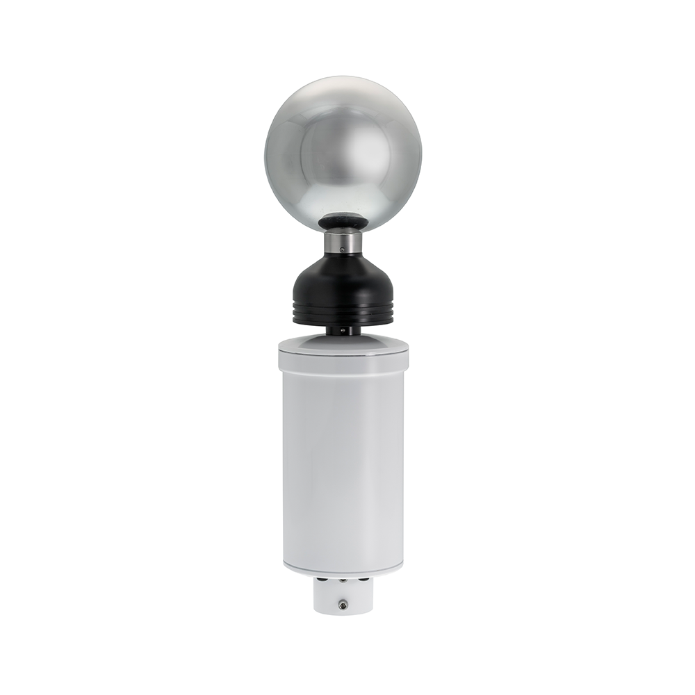
Senseca (Biral) BTD-200
Short-range thunderstorm detection and lightning warning in a base-tier single-sensor configuration, for local overhead and approaching-storm alerting.
What matters offshore
Overhead warning, not just range
A range ring tells you a storm is approaching. An overhead-risk alarm tells you to stop the lift now.
Direction
A direction finder turns a detection range into a bearing, so a storm can be watched as it approaches rather than simply reported as present.
Helicopter operations
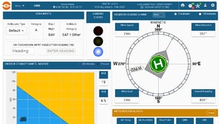
CAP 437 expects thunderstorm activity to be reported alongside the rest of the helideck weather. A helicopter can also trigger a discharge in a charged cloud that would not have produced one on its own, which is why the charging state matters as much as the strike count.
False alarms
A detector that cries wolf gets ignored, or switched off. Discriminating real discharges from local electrical noise is what separates a usable instrument from a nuisance.
Protection is a separate job
Detection tells people to stop; surge arrestors keep the instrumentation alive when a strike lands anyway. We fit surge protection at the sensor junction boxes and at the cabinet transition point as part of a monitoring system, specified alongside detection, not instead of it.
Where to next
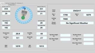
Storm cells are also tracked on weather radar, and thunderstorm status is reported with the rest of the deck weather.
In this area: Weather radar · Meteorological sensors · Optical and visibility sensors
Related systems: Helideck Monitoring System · Squall Warning System
Also useful: CAP 437 · All sensor types · Service and support
Useful to include
- The parameter and the range you need
- Where the sensor goes, and the zone classification
- The system it has to report to
What happens next
We confirm the measurement and the installation constraints.
We recommend a sensor, or a set, that fits.
You get a quotation for supply, installation and service.
Get in touch
Tell us what you are measuring, where the sensor goes and what it has to connect to, and we will come back with a sensor that fits the installation.
You can also contact us directly.